Macclesfield Walking Trails
With panoramic sights reaching as far as Liverpool and the Welsh Hills on a clear day, make Macclesfield your one stop destination for the ultimate walking weekend.
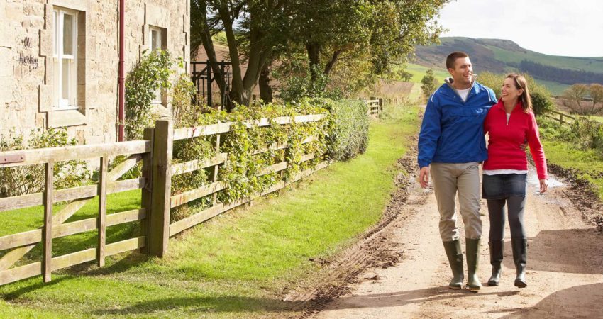
Explore Macclesfield and the Peak District by foot, with some of the most scenic views in the UK.
With panoramic sights reaching as far as Liverpool and the Welsh Hills on a clear day, make Macclesfield your one stop destination for the ultimate walking weekend.
With some of the most beautiful walking trails the UK has to offer, Macclesfield provides the perfect home for the keen rambler, active families and couples to stretch their legs and take on the fantastic heritage trails and country walks the town has to offer.
Get to know the area
WALKING ROUTES
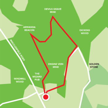
The Edge Walking Trail (Easy)
As a dramatic sandstone ridge, Alderley Edge provides stunning views over the Cheshire plains, with views as far as Manc...
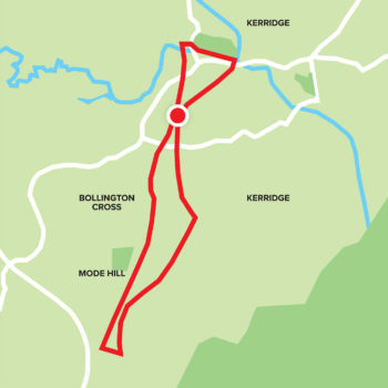
Middlewood Way Walking Trail (Easy)
With crossings over a viaduct, and placed high above the river, this route offers plenty of views across the mills and h...
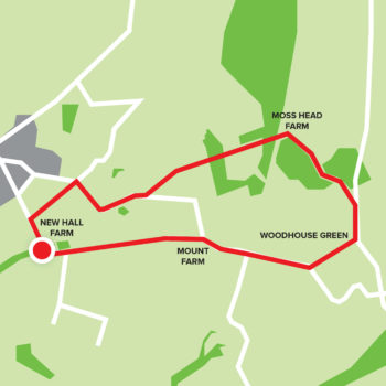
Gawsworth Hall Circular Walking Trail (Intermediate)
Enjoy this gentle ramble along the Macclesfield Canal and across the Danes Moss reserve, perfect for taking in views of ...
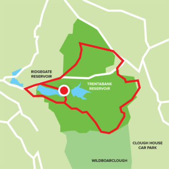
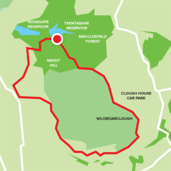
Macclesfield Forest Trail (Intermediate)
With steep paths and rocky terrain, this route is ideal for the more experienced rambler. ...
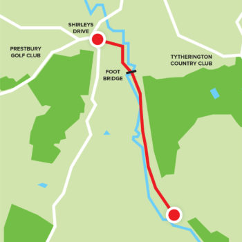
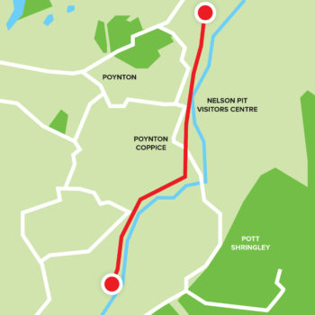
Macclesfield Riverside Park (Intermediate)
Follow the River Bollin on a science route through Macclesfield Riverside Park, a recreational park close to the heart...
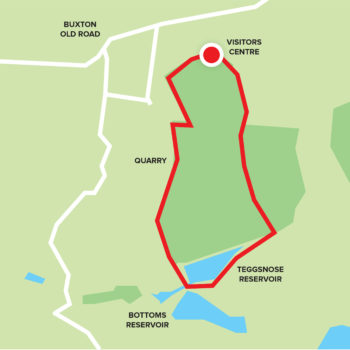
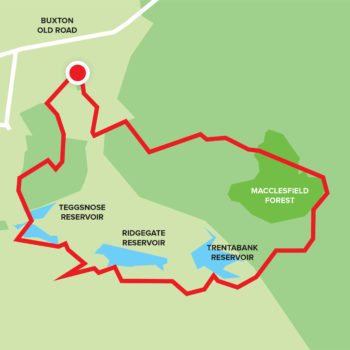
Tegg’s Nose Country Park Trail (Intermediate)
With stunning views over Macclesfield Forest, and the summit of Shutlingsloe (the second highest point in Cheshire), thi...
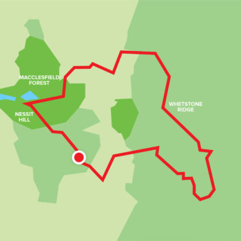
3 Shires Head (Difficult)
With fantastic views and varying paths, prepare for a breath-taking 6 hour hike on varying paths types. ...
Forest Trail (Difficult)
With strenuous ascents and descents, this trail is for ramblers looking for a challenge, whilst soaking in some of the...
Shutlingsloe Walk (Difficult)
Carved with Gristone, this wild landscape is perfect for a challenging ramble. Starting in the heart of Macclesfield F...
See Macclesfield
Within easy reach by train or car from London, the North and Midlands, Macclesfield is perfectly situated as a base for your outdoor getaway.